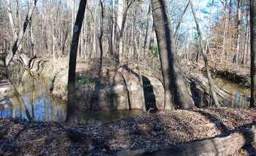
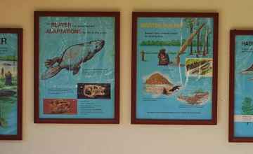
Meet the beaver, a member of the rodent family that has adapted itself to work and live both on the land and in the water. Beavers are large, weighing up to sixty pounds in Mississippi. Squat and with a low center of gravity they are clumsy on land. The beaver has many special adaptations for life in the water. It is a powerful swimmer with webbed hind feet. The flat tail is a rudder. It also serves as a prop when he sits up and is often used to slap a danger signal. The chisel-like cutting teeth are strong, sharp, prominent and self-sharpening. Beavers can gnaw underwater without difficulty. Their lips seal out the water. Hearing is keen, sense of smell is acute, vision is supposedly excellent underwater, only fair on land. The beaver's nose and ears contains valves which close when the animal dives and open when its head appears out of water. They have a natural instinct for keeping busy. They can fell trees, float logs to desired places through canals dug for the purpose, build lodges and dens with underwater entrances and tunnels and build dams to form ponds. One such dam in Mississippi measured 1080 feet. The beaver's service to good conservation practice far outweighs the damage they do.
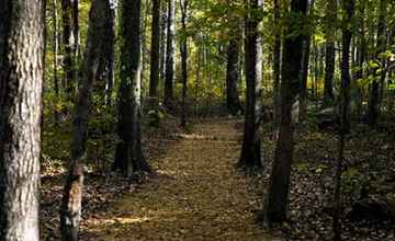
Beavers usually pair in February and stay mated for life. Young beavers, called kits, are born in May, completely furred and with eyes open. The average litter is four. The diet of the beaver, mostly bark, changes with the seasons. Spring menu is sweet gum, pine and hophornbeam. Summer menu is willow, cottonwood and tender green plants. Fall menu is acorns, buttonbush, willow and giant cane. Winter menu is ash, elm and miscellaneous plants. Follow the nature trail to see beaver cut trees, dams and examples of beaver food supply.
