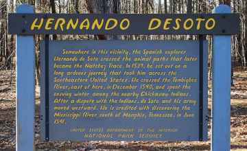
Somewhere in this vicinity, the Spanish explorer, Hernando de Soto crossed the animal path that later became the Natchez Trace. In 1539, he set out on a long arduous journey that took him across the southeastern United States. He crossed the Tombigbee River east of here in December 1540 and spent the ensuing winter among the nearby Chickasaw Indians. Later attacked by the Indians, de Soto and his army moved westward. He is credited with discovering the Mississippi River somewhere south of Memphis, Tennessee in June 1541.
Hernando de Soto
Natchez Trace
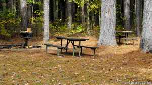
Hernando de Soto is located on the Natchez Trace Parkway at milepost 243.3.
-
Hernando de Soto Mississippi

Photo Credit: National Park Planner
Scroll down the page to view more Hernando de Soto pictures!


