Natchez Trace Picnic Areas
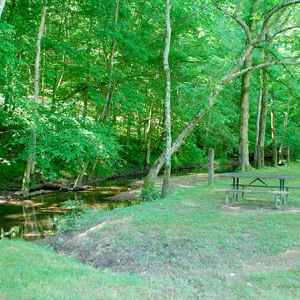
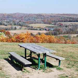
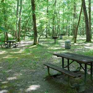
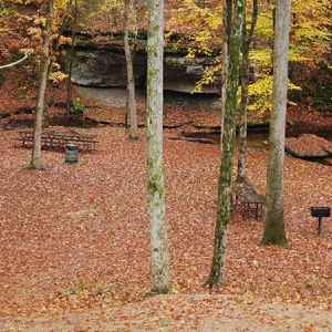
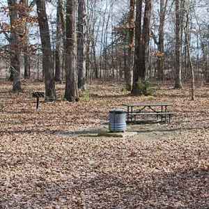
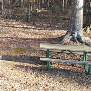
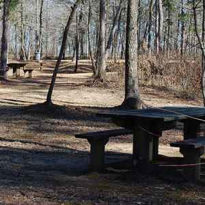
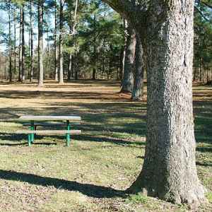
There are over 90 sites along the Natchez Trace Parkway. Which ones have picnic areas? Most designated picnic areas have three or more picnic tables and some have one or more grills. Several of the picnic areas have a restroom located nearby.
Need to purchase food or picnic supplies? Check out our Restaurants and Markets information, or on any of the picnic area detail pages, click on the "click for a map" link to view a map showing the picnic area and nearby points of interest including exit/access roads, restaurants and markets.

Below is a "summary preview" of each Natchez Trace picnic area that includes the site name, milepost number, number of picnic tables and grills, other major features and a link for more photos, info and a location map.
Click any photo to view larger photos.

Timberland Park
milepost 437.2
6 picnic tables, 0 grills (cooking prohibited)
also Restroom, Hiking Trail, Top 30 Favorite Site
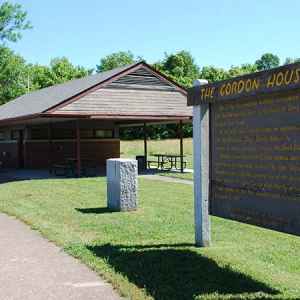
Gordon House
milepost 407.7
2 picnic tables (under pavillion), 0 grills
also Restroom, History/Nature Exhibit, Old Trace, Indian History, Hiking Trail, Top 30 Site

Jackson Falls
milepost 404.7
3 picnic tables, 2 grills
also Restroom, Hiking Trail, Waterfall, Top 30 Site

Meriwether Lewis Death & Burial Site
milepost 385.9
3 picnic areas: many picnic tables and grills
also Restroom, Hiking Trails, History/Nature Exhibit, Campground, Old Trace, Top 30 Site
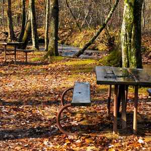
Holly
milepost - 346.2
9 picnic tables, 4 grills
Click for Photos, Info and Location Map...
Photo Credit: Steven Markos / National Park Planner

Cypress Creek
milepost 343.5
7 picnic tables, 4 grills
Click for Photos, Info and Location Map...
Photo Credit: Steven Markos / National Park Planner
Tennessee Natchez Trace Picnic Areas
ordered north to south
Click any photo to view larger photos.

Lauderdale
milepost 328.7
4 picnic tables, 0 grills
Click for Photos, Info and Location Map...
Photo Credit: Steven Markos / National Park Planner
Click any photo to view larger photos.

Tishomingo State Park
milepost 304.5
3 picnic pavilions and several picnic tables/grills
also Hiking Trail, Restroom, Top 30 Site
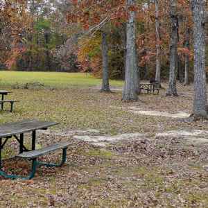
Tennessee-Tombigbee Waterway
milepost 293.2
4 picnic tables, 1 grill
also Modern Marvel
Click for Photos, Info and Location Map...
Photo Credit: Steven Markos / National Park Planner
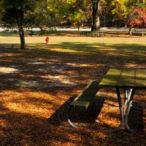
Parkway Information Center
milepost 266.0
4 picnic tables, 0 grills
also History/Nature Exhibit, Visitor/Info Center, Hiking Trail, Restroom, Top 30 Site
Click for Photos, Info and Location Map...
Photo Credit: Steven Markos / National Park Planner
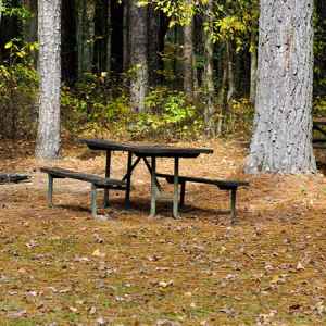
Hernando de Soto
milepost 243.3
2 picnic tables, 1 grill
Click for Photos, Info and Location Map...
Photo Credit: Steven Markos / National Park Planner

Witch Dance
milepost 233.2
17 picnic tables, 5 grills
also Restroom, Hiking Trail
Click for Photos, Info and Location Map...
Photo Credit: Steven Markos / National Park Planner

Ballard Creek
milepost 201.3
1 picnic table, 0 grills
Click for Photos, Info and Location Map...
Photo Credit: Steven Markos / National Park Planner

Jeff Busby Park
milepost 193.1
22 picnic tables, 13 grills
also Restroom, Hiking Trail, Campground, Scenic Overlook, Top 30 Site
Click for Photos, Info and Location Map...
Photo Credit: Bobby Mims

Kosciusko Information Center
milepost 160.0
3 picnic tables, 0 grills
also Restroom, History/Nature Exhibit
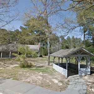
Parkway Information Cabin at Ridgeland
milepost 102.4
2 picnic tables, 0 grills
also Restroom, History/Nature Exhibit

Rocky Springs
milepost 54.8
15 picnic tables, 4 grills
also Restroom, Hiking Trail, History/Nature Exhibit, Old Trace, Campground, Top 30 Site
Click for Photos, Info and Location Map...
Photo Credit: Steven Markos / National Park Planner

North Fork Coles Creek
milepost 23.0
3 picnic tables, 0 grills
Click for Photos, Info and Location Map...
Photo Credit: Steven Markos / National Park Planner

Mud Island Creek
milepost 22.0
3 picnic tables, 0 grills
Click for Photos, Info and Location Map...
Photo Credit: Steven Markos / National Park Planner

Turpin Creek
milepost 12.1
5 picnic tables, 3 grills
Click for Photos, Info and Location Map...
Photo Credit: Steven Markos / National Park Planner
Mississippi Natchez Trace Picnic Areas
ordered north to south
- Tishomingo State Park
- Tennessee-Tombigbee Waterway
- Parkway Information Center
- Chickasaw Council House
- Hernando de Soto
- Witch Dance
- Ballard Creek
- Jeff Busby Park
- Bethel Mission
- Kosciusko Information Center
- Holly Hill
- Robinson Road
- River Bend
- Parkway Information Cabin at Ridgeland
- Rocky Springs
- North Fork Coles Creek
- Mud Island Creek
- Coles Creek
- Turpin Creek
- Picnic Area icons are displayed on the map.
- Add/remove other Points of Interest (markets, restrooms, Top 30 Favorite sites) with the tabs below the map.
Note: for your convenience the National Park Service displays a milepost on the east side of the parkway. Mileposts start at 0 on the southern end of the Trace near Natchez and end at 444 at the northern terminus (The Natchez Trace Parkway is 444 miles long.). Throughout this website, mileposts are used to help you locate attractions along the trace and exits on/off the Trace to help you find towns, attractions and bed and breakfasts located just off the Trace.

