scroll down the page to view a Photo Gallery
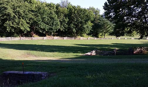
The southern trailhead of the Highland Rim Trail section of the Natchez Trace National Scenic Trail is located off TN Highway 50 at milepost 408. Exit the parkway onto Hwy 50 and go west a couple hundred yards and turn right into the parking area (follow the clearly marked signs).
The Highway 50 trailhead is a great place for both hikers and horseback riders to start their trip on the Highland Rim section of the Natchez Trace National Scenic Trail. There is a huge parking area for horse trailers, two hitching posts, and water available for horses. Visitors will need to get drinking water at the Gordon House, milepost 407.7.
The Highland Rim trail is roughly 20 miles long ending at the northern terminus located at Garrison Creek. The northern trailhead is also a staging area for horseback riders as is the trailhead located off of TN Highway 7. Other access points to the trail for hikers include War of 1812 Memorial/Old Trace, Burns Branch and the Tennessee Valley Divide.

https://www.natcheztracetravel.com/natchez-trace-national-scenic-trail/highlandrim-trail/2768-highlandrim-trail-southern-trailhead.html#sigProIdf7c58eb052
