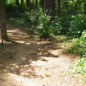
Natchez Trace Hiking Trails
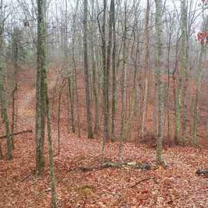
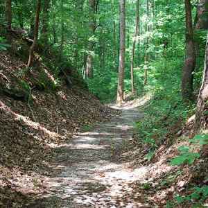
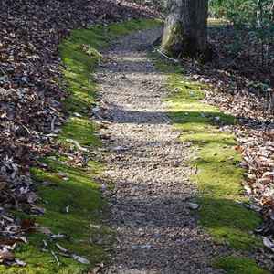
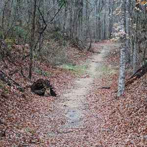
Hiking Trails and self-guided nature walks can be found along the entire length of the Natchez Trace Parkway. Some of the short walks take you through some of the natural wonders found along the Trace. There are several places where you can walk a preserved section of the Old Trace. And, there are sections of the Natchez Trace National Scenic Trail where horseback riding and hiking can be enjoyed.

Below is a "summary preview" of each Natchez Trace hiking trail site that includes the site name, milepost number, trail info, other major features and a link for more photos, info and a location map.
Click any photo to view larger photos.

Timberland Park
milepost 437.2
several intersecting loop trails 2 to 3 miles long each
also Restroom, Picnic Area, Top 30 Favorite Site

Garrison Creek
milepost 427.6
northern trailhead of 24 mile-long Highland Rim Trail (Natchez Trace National Scenic Trail) + 2 mile loop trail
also Restroom, Picnic Area, Horseback Trail, Top 30 Favorite Site

War of 1812 Memorial / Old Trace
milepost 426.3
access to Highland Rim Trail (Natchez Trace National Scenic Trail)
also Old Trace

Burns Branch
milepost 425.4
access to Highland Rim Trail (Natchez Trace National Scenic Trail)
also Picnic Area

Highland Rim Trail southern trailhead
milepost 408
southern trailhead of 24 mile-long Highland Rim Trail (Natchez Trace National Scenic Trail)
also Horseback Trail
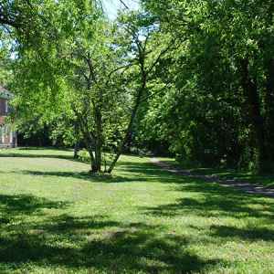
Gordon House and Duck River Ferry Site
milepost 407.7
short trail leads to a section of the Old Trace and the Duck River Ferry site
also Restroom, History/Nature Exhibit, Old Trace, Indian History, Top 30 Favorite Site

Baker Bluff Overlook
milepost 405.1
1/3 mile one-way trail to Jackson Falls
also Scenic Overlook, Top 30 Favorite Site

Jackson Falls
milepost 404.7
.75 mile one-way trail to Baker Bluff and 900' one-way paved, steep trail to the falls
also Restroom, Picnic Area, History/Nature Exhibit, Waterfall, Top 30 Favorite Site

Old Trace Walk
milepost 403.7
2000' one-way trail on the Old Trace
also Old Trace
Click for Photos, Info and Location Map...
Photo Credit: Steven Markos / National Park Planner

Tobacco Farm and Old Trace Drive
milepost 401.4
2 mile road (one-way north) follows the original Natchez Road route
also History/Nature Exhibit, Old Trace
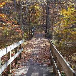
Fall Hollow Waterfall
milepost 391.9
short walk to overlook, followed by steep trail to base of the falls
also Waterfall, Top 30 Favorite Site
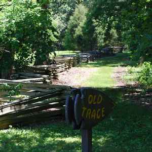
Meriwether Lewis Death & Burial Site
milepost 385.9
several .5 to 1.5 mile trails, one on the Old Trace
also Restroom, Picnic Area, History/Nature Exhibit, Campground, Old Trace, Top 30 Favorite Site

Metal Ford and Buffalo River
milepost 382.8
short nature trail along Buffalo River
also History/Nature Exhibit, Picnic Area, Old Trace, Top 30 Favorite Site

Old Trace Drive
milepost 375.8
2.5 mile road (one-way north) follows the original Natchez Road route
also Old Trace, Top 30 Favorite Site
Click for Photos, Info and Location Map...
Photo Credit: Peggy Anderson
Tennessee Natchez Trace Hiking Trails
ordered north to south
- Timberland Park
- Garrison Creek
- War of 1812 Memorial and Old Trace
- Burns Branch
- Highland Rim Trail southern trailhead
- Gordon House and Duck River Ferry Site
- Baker Bluff Overlook
- Jackson Falls
- Old Trace Walk
- Tobacco Farm and Old Trace Drive
- Devil's Backbone State Natural Area
- Fall Hollow Waterfall
- Meriwether Lewis Death & Burial Site
- Metal Ford and Buffalo River
- Old Trace Drive
- Sweetwater Branch
Click any photo to view larger photos.

Tishomingo State Park
milepost 304.5 (adjacent to the parkway)
seven trails from .75 miles to 3 miles long
also Picnic Area, History/Nature Exhibit, Daily Use Fee
Click for Photos, Info and Location Map...
Photo Credit: John Tallant

Parkway Visitor Center
milepost 266.0
northern trailhead of the 6 mile-long Blackland Prairie Trail (Natchez Trace National Scenic Trail)
also Restroom, History/Nature Exhibit, Picnic Area, Top 30 Favorite Site
Click for Photos, Info and Location Map...
Photo Credit: National Park Service

Old Town Overlook
milepost 263.9
access to Blackland Prairie Trail (Natchez Trace National Scenic Trail)
also Scenic Overlook, Indian History

Chickasaw Village Site
milepost 261.8
access to Blackland Prairie Trail (Natchez Trace National Scenic Trail) + a short nature loop trail
also Indian History, Top 30 Favorite Site
Click for Photos, Info and Location Map...
Photo Credit: Steven Markos / National Park Planner

Witch Dance
milepost 233.2
trailhead of the Witch Dance Horse Trail in the Tombigbee National Forest (18 mile multi-loop horseback and hiking trail)
also Restroom, Picnic Area
Click for Photos, Info and Location Map...
Photo Credit: Steven Markos / National Park Planner
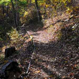
Jeff Busby Park
milepost 193.1
.8 mile Little Mountain Trail and a half mile nature loop trail
also Restroom, Picnic Area, Campground, Scenic Overlook, Top 30 Favorite Site
Click for Photos, Info and Location Map...
Photo Credit: Steven Markos / National Park Planner
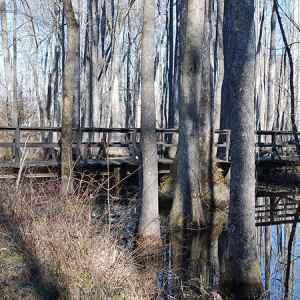
Cole Creek
milepost 175.6
short nature trail thru and over a cypress swamp
also History/Nature Exhibit

Myrick Creek
milepost 145.1
short nature trail
also History/Nature Exhibit
Click for Photos, Info and Location Map...
Photo Credit: Vince Havens

Cypress Swamp
milepost 122.0
short nature trail through and over a cypress swamp
also Top 30 Favorite Site
Click for Photos, Info and Location Map...
Photo Credit: Jennifer Champney
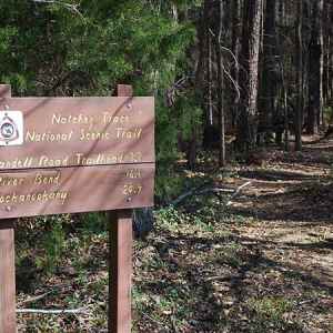
West Florida Boundary
milepost 107.9
southern trailhead of the 25 mile-long Yockanookany Trail (Natchez Trace National Scenic Trail)
also Picnic Area, History/Nature Exhibit

Reservoir Overlook
milepost 105.6
northern trailhead of the paved Natchez Trace Multi-Use Trail / Ridgeland Multi-Use Path
also Scenic Overlook, Top 30 Favorite Site

Brashear's Stand and Old Trace
milepost 104.5
short section of Old Trace, connector trail to Mississippi Crafts Center and access to the paved Natchez Trace Multi-Use Trail / Ridgeland Multi-Use Path
also Old Trace
Click for Photos, Info and Location Map...
Photo Credit: Tony Turnbow / Natchez Trace Parkway Association

Parkway Information Cabin at Ridgeland
milepost 102.4
access to the paved Natchez Trace Multi-Use Trail / Ridgeland Multi-Use Path
also Restroom, History/Nature Exhibit
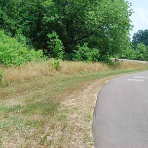
Choctaw Agency
milepost 100.7
southern trailhead of the paved Natchez Trace Multi-Use Trail / Ridgeland Multi-Use Path
also Indian History
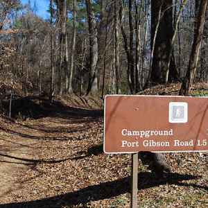
Rocky Springs
milepost 54.8
short nature trail thru old town area and a short segment of Old Trace
also Restroom, Picnic Area, History/Nature Exhibit, Old Trace, Campground, Top 30 Favorite Site

Potkopinu Trail (northern trailhead)
milepost 20.0
northern trailhead of the 3 mile-long Potkopinu Trail (Natchez Trace National Scenic Trail)
Click for Photos, Info and Location Map...
Photo Credit: Paul Wade

Potkopinu Trail (southern trailhead)
milepost 17.0
southern trailhead of the 3 mile-long Potkopinu Trail (Natchez Trace National Scenic Trail)
Click for Photos, Info and Location Map...
Photo Credit: Paul Wade
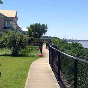
Natchez Bluff Trail
milepost 0 (downtown Natchez)
follows a path on top of Natchez Bluff with views of the MS River and down a 200' wooden staircase to the base of the bluff
also Scenic Overlook
Click for Photos, Info and Location Map...
Photo Credit: Downtown Karla Brown
Mississippi Natchez Trace Hiking Trails
ordered north to south
- Tishomingo State Park
- Donivan Slough
- Dogwood Valley
- Parkway Visitor Center
- Old Town Overlook
- Chickasaw Village Site
- Witch Dance
- Jeff Busby Park
- Cole Creek
- Hurricane Creek
- Myrick Creek
- Upper Choctaw Boundary
- Cypress Swamp
- West Florida Boundary
- Reservoir Overlook
- Brashear's Stand and Old Trace
- Parkway Information Cabin at Ridgeland
- Choctaw Agency
- Rocky Springs
- Grindstone Ford
- Potkopinu Trail (northern trailhead)
- Bullen Creek
- Potkopinu Trail (southern trailhead)
- Natchez Bluff Trail
Note: for your convenience the National Park Service displays a milepost on the east side of the parkway. Mileposts start at 0 on the southern end of the Trace near Natchez and end at 444 at the northern terminus (The Natchez Trace Parkway is 444 miles long.). Throughout this website, mileposts are used to help you locate attractions along the trace and exits on/off the Trace to help you find towns, attractions and bed and breakfasts located just off the Trace.
