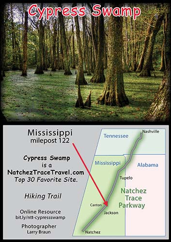
The Cypress Swamp Loop Trail is 4/10ths of a mile long. Over bridge and thru the swamp to a pond and back to the parking area. An easy trail that can be hiked in 20 minutes.
As anywhere on the parkway, dogs are allowed as long as they are on a leash. Watch out for alligators - they, are not on a leash!
In the month of November, the tree canopy and water vegetation are bathed in interesting fall colors.
Water tupelo and bald cypress trees can live in deep water for long periods. After taking root in summer when the swamp is nearly dry, the seedlings can stay alive in water deep enough to kill other plants. This trail leads to an abandoned river channel. As the channel fills with silt and vegetation, black willow, sycamore, red maple and other trees will gradually replace the bald cypress and tupelo. Don't hurry, the change will take several hundred years.
Click any photo to view larger photos.

Reflections

Beautiful Fall Foliage

Springtime at Cypress Swamp.

Summer view of Cypress Swamp.

Cypress Swamp Sweatshirts

Cypress Swamp T-Shirts

From the parking area this wooden footbridge takes you across the cypress swamp.

Cypress Swamp Tote Bags

Water Tupelo and Bald Cypress

Springtime at Cypress Swamp.

Another view of the wooden footbridge.

Reflections at Cypress Swamp.

Summertime at Cypress Swamp.

Cypress Swamp Stickers

Frog posing for a closeup!

View of Cypress Swamp from the parking area.

Cypress Swamp Mugs

Gator sunning on a log.

Cypress trees on the trail.

Cyclist photo op at Cypress Swamp.

This view can be found on the southwestern most point of the Cypress Swamp walking trail.

Gator closeup

Cypress Swamp

This is the first view seen before descending the steps for a closer look at majestic gnarled stumped cypress trees of the Cypress Swamp.

Cyclists taking a break to check out Cypress Swamp.